- Home
- Top-Rated Land Surveying and Engineering Survey Services Across East Africa
Land and Engineering Surveying Services
Overview
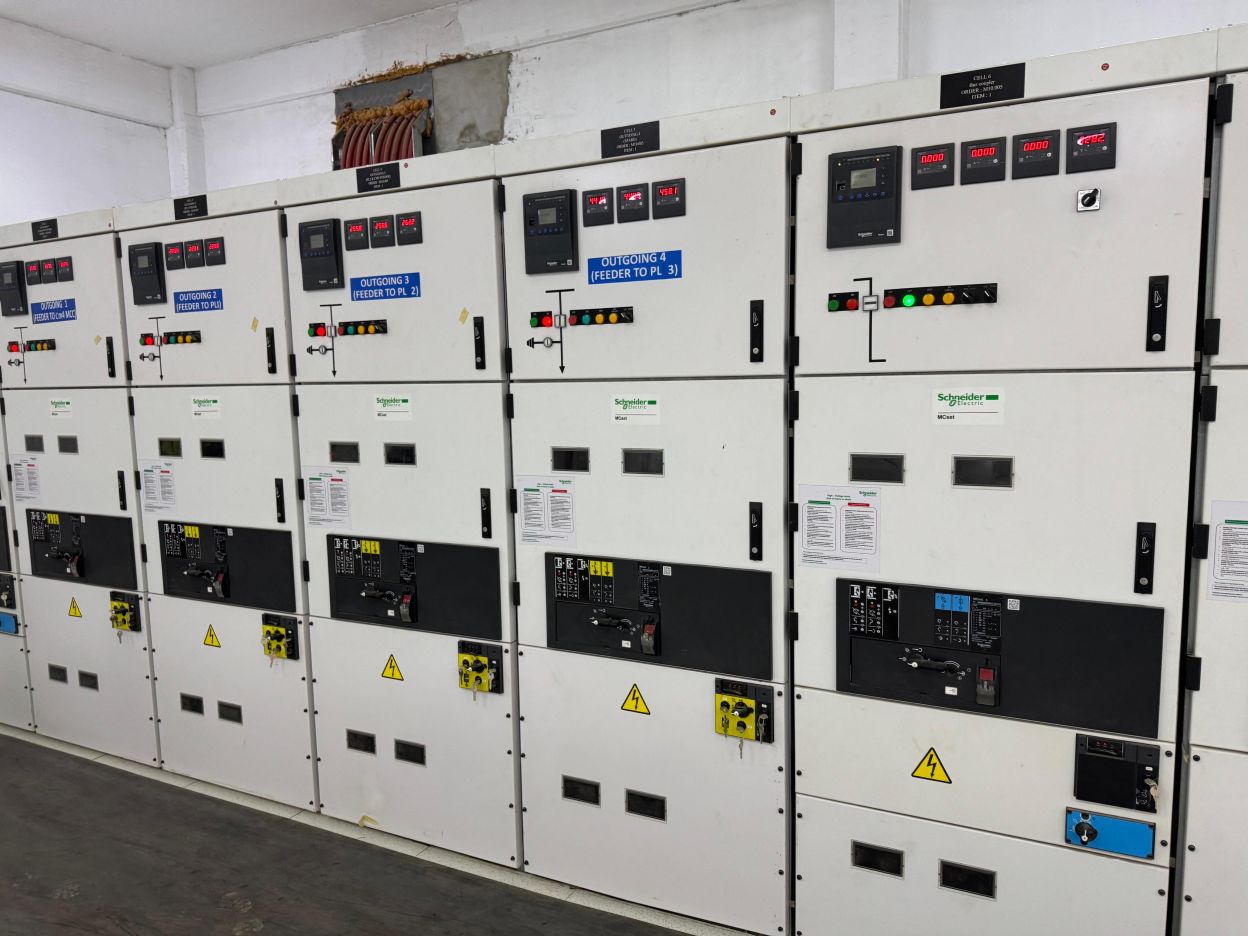
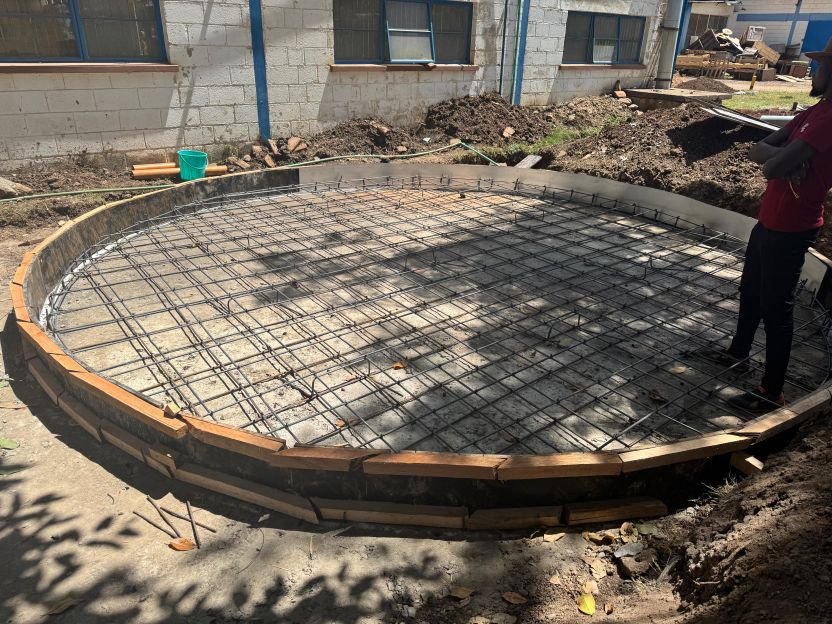
Our Land and Engineering Surveying department specializes in providing precise measurements and detailed mapping for a wide range of projects, including roads, buildings, dams, and other infrastructure. We leverage cutting-edge tools such as Total Stations, GNSS Receivers, and advanced software to ensure accuracy and reliability in every deliverable. Whether it’s establishing vertical and horizontal controls, conducting topographical surveys, or performing cadastral surveys, we deliver tailored solutions to meet your project needs.
Land and Engineering Surveying plays a critical role in the planning, design, and execution of infrastructure projects. At Ellipsoid Consultants Group, we use advanced tools like Total Stations, GNSS Receivers, and AutoCAD to process survey data and produce accurate maps, cross-sections, and site layouts. Our expertise spans boundary surveys, topographical surveys, construction layout surveys, and geotechnical investigations. For example, our team can establish precise controls for large-scale developments, ensuring that all structures are built according to plan.
In addition, we provide detailed reports and mapping services for urban planning, land acquisition, and infrastructure development. Our surveys are designed using the latest techniques and printed on high-quality plotters like the HP Z2100. Before any project begins, we conduct feasibility studies and topographical surveys to produce contoured maps and elevation profiles, ensuring accuracy and precision in every deliverable.
What Clients Can Expect
- Precise and reliable survey data for informed decision-making.
- Tailored surveying solutions to meet specific project requirements.
- Use of advanced tools like Total Stations, GNSS Receivers, and AutoCAD for accurate results.
- Detailed topographical surveys, contour maps, and cross-sections for infrastructure projects.
- Boundary and cadastral surveys for land acquisition and real estate development.
- Construction layout surveys to ensure proper alignment and positioning of structures.
- Geotechnical investigations to assess soil conditions and foundation requirements.
- High-quality outputs, including digital maps, site plans, and elevation profiles.
- Timely delivery of survey reports with clear communication throughout the process.
- Support from a team of registered professionals with expertise in land and engineering surveying.
At Ellipsoid Consultants Group, our Land and Engineering Surveying department is committed to delivering precise and innovative solutions that drive success. From topographical surveys to construction layout services, we provide the tools and expertise needed to tackle complex challenges. If you’re ready to leverage our surveying services for your project, contact us today to discuss your requirements and explore how we can help you achieve your goals.
 How can we Help you?